SOCIAL MEDIA: FOLLOW REPORTER KARA DRISCOLL ON TWITTER
The project is the third part of the Ohio Statewide Imagery Program (OSIP), and provides data for private industries, public agencies, non-governmental organizations and educational institutions.
All data developed through OSIP will be made available to everyone from government agencies to the public in all 88 Ohio counties at no cost.
WANT MORE BUSINESS NEWS? SUBSCRIBE TO OUR FREE, DAILY NEWSLETTER
By providing access to the data, there has been a significant increase in the use of imagery for applications like the routing of emergency responders, planning and design of transportation infrastructure, and permitting and code enforcement. It is also used for property tax assessment and change detection, according to a news release.
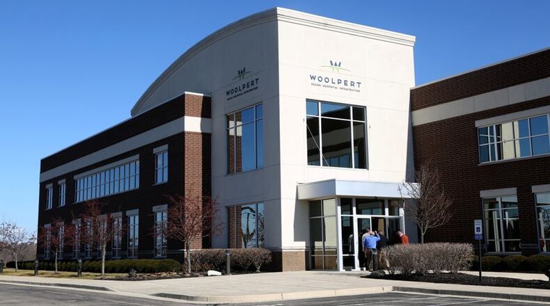
“Being a part of the Ohio community for more than 100 years, we’re honored to have participated in OSIP for over a decade,” said Brian Stevens, Woolpert Geospatial program director. “It’s always good to come home.”
RELATED: Woolpert lands contract to fly drones to look at rural roads
Back in April, Woolpert won a University of Cincinnati project to provide civil engineering, structural engineering and landscape architecture services for its new College of Business project.
The 225,000-square-foot facility will cost more than $100 million to build on the university’s main campus.
The OSIP program began on Jan. 1, and data will be collected from 2017 to 2020. The firm currently is doing business in all 50 states and in five foreign countries.
FIVE QUICK BUSINESS READS:
• CLOSING: Montgomery Inn shuts down location
• Shopping struggle: Chain retailers facing pressure from e-commerce
• INSIDE LOOK: Dayton mansion on sale for nearly $1M
• Mikesell's recalling chips for possible Salmonella contamination
About the Author
