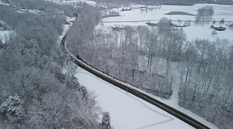
A winter storm warning is in effect until noon Monday. There will be an initial round of light snow Saturday evening, with the heavier snowfall coming starting around daybreak on Sunday and continuing until the afternoon, then gradually tapering off in the evening and overnight.
During the day on Sunday, the NWS said it expects more than half an inch of snowfall per hour until around 5 p.m., though some areas closer to the Ohio River could also see some mixed precipitation and ice formation.
With the impending winter storm, here is a rundown of the expected p-types and intensity (rates) for various locations. The favored areas for mixed precipitation (snow/sleet/freezing rain) is likely to be confined to parts of northeast Kentucky and south-central Ohio. pic.twitter.com/VRaFa2sJ4h
— NWS Wilmington OH (@NWSILN) January 23, 2026
Meanwhile, highs will remain well below freezing, with highs Saturday around 15 degrees and lows around 12 degrees. Sunday’s highs are expected to be around 22 degrees, falling to around 7 degrees overnight.
The heavy snow and freezing temperatures will make it harder for crews to clear roads, resulting in hazardous driving conditions.
The NWS said as snow overspreads the area mid-afternoon through early evening, it is recommended to take it slow on the roads. Very difficult travel conditions are expected by late tonight through Sunday as the winter storm rolls in.
As the snow overspreads the area mid afternoon through early evening, be sure to take it slow if on the roads. Very difficult travel conditions are expected by late tonight through the day Sunday as snow/wintry precipitation coverage/intensity increases. pic.twitter.com/cqJzJY4Jrc
— NWS Wilmington OH (@NWSILN) January 24, 2026
Residents should avoid driving if possible, but those who must travel should prepare a winter storm kit before hitting the road and remain weather aware. Kits should include an extra flashlight, food and water, blankets and cold weather gear.
Frigid temperatures are expected through next week, with highs in the teens and lows dropping to around or just below zero degrees.
About the Author

