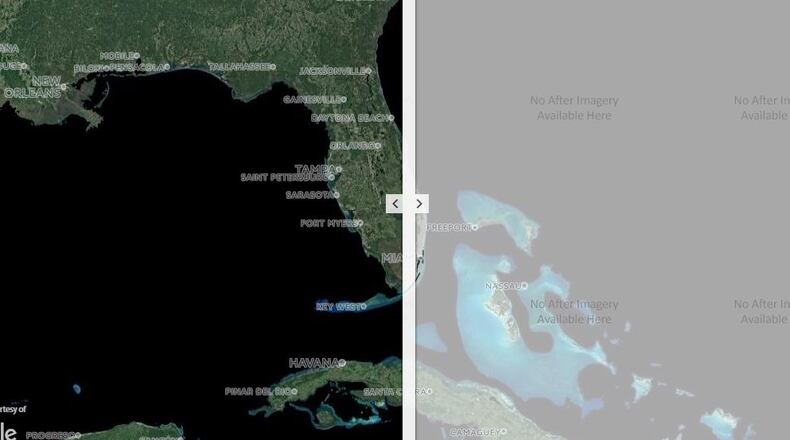
Miami-Dade County contracted with Woolpert for post-storm imagery as Hurricane Irma approached, while Woolpert’s work with the Florida Department of Transportation (FDOT) is part of an already existing five-year, statewide contract for emergency mapping services, the company said Friday in a release.
RELATED: Local engineers create free before-and-after views of Harvey
Mike Zoltek, Woolpert project manager, said the two projects had different goals.
“Miami-Dade wanted imagery from after the event, documenting damage assessment, while FDOT wanted to see how high the water got at the peak of the flooding to gain current flood conditions,” Zoltek said. “For FDOT, we captured 1,000 square miles of imagery along the St. Johns River in a single day as the water was cresting.”
The FDOT project is complete, while the Miami-Dade project has continued as weather allowed. Imagery for FDOT was posted Friday, while Miami-Dade imagery is expected to be posted Monday, the company said.
The resulting online maps, paired with data from the National Oceanic and Atmospheric Administration (NOAA) and Google, allow viewers to look up an address, navigate to an area of concern, and zoom in and out.
Woolpert only recently had been mapping the devastation in Houston after Hurricane Harvey when contacted by Miami-Dade, the firm said.
“By arranging these services prior to Irma making landfall, we were able to have our flight plans prepared and our planes ready and stationed nearby,” Zoltek said in Woolpert’s release. “Understanding the needs of the customer allowed us to adjust to the shifting trajectory of the hurricane and quickly get our collection underway.”
About the Author

