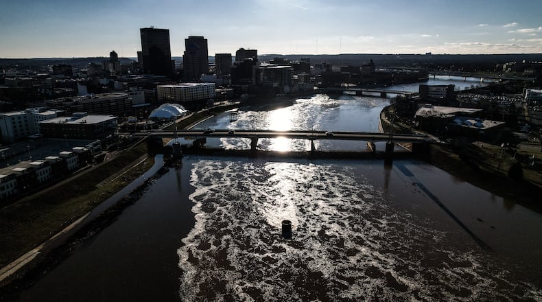
“Between Dec. 26 and Jan. 2, the Great Miami River and its tributaries rose and fell several times in response to heavy rain totaling between 1.5 and 3.0 inches across the watershed,” MCD said in a release.
The system protects roughly 1 million people and more than 47,000 properties in Butler, Hamilton, Miami, Montgomery and Warren counties.
While the flood control system worked, the entrance gates to East River Landing in Moraine and Miami Bend Park in West Carrollton are closed for safety, and sections of the Great Miami River Trail also remain underwater. MCD said these locations are close to the river and are commonly flooded when water rises.
MCD said the Englewood Dam remains in storage after water rose above the top of the concrete openings.
The flood protection system reduces flood risk for riverfront cities along the Great Miami River and was created by MCD engineers following the 1913 flood.
“For nearly 100 years, these structures have protected cities from Piqua to Hamilton,” MCD said.
The conservancy district will continue to monitor the river levels but expects the first high water event of 2022 to finish by Wednesday as there is no precipitation in the forecast.
About the Author

