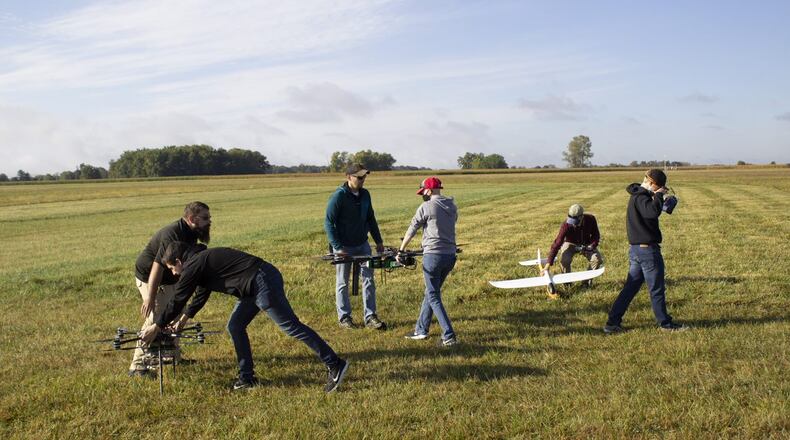
From offices on Col. Glenn Highway, CAL Analytics is introducing what it calls the “Contingency Management Platform” or CMP, a software system designed to monitor drone operations, weather and other factors in the oversight of unmanned vehicle traffic.
The platform will be increasingly needed as drone traffic gets heavier, Sean Calhoun, founder and managing director of CAL Analytics, believes.
The innovation is meant to be used at operating centers for unmanned aerial vehicles, providing supervisors overall awareness of what’s going on in the airspace as well as the integrity and health of drones, Calhoun said in an interview during National Drone Safety Awareness Week, which ended Sunday.
It’s something that could be used at the UAS Test Center in Springfield, he said. A version of the system has also been deployed with the $5 million Skyvision system at Springfield-Beckley Municipal Airport, where beyond-line-of-visual-sight use of drones is tested.
“What we’re trying to do is develop the underlying foundation and safety mechanisms to make (UAS) systems safe and robust for actual commercialization” of drone traffic, Calhoun said.
The system is “mostly” software, Calhoun said. It can operate on a computer, but it can also run on Cloud hosting services.
“We’re in the early deployment stages, but so far, we’ve gotten some pretty positive feedback,” Calhoun said. “We’ve worked locally with ODOT (the Ohio Department of Transportation) and the Skyvision team” in Springfield.
“Also, the development of the program has been sponsored by the FAA,” he added. “We’ve gotten some good feedback from them.”
Rich Fox, airspace manager at the UAS Center in Springfield, a subdivision of DriveOhio and the Ohio Department of Transportation, likened CMP to the “dummy lights” on a car dashboard that alert drivers to low oil or low tire pressure, making complex information quickly usable.
“Incredible,” Fox called it. “CAL is an extraordinary company. Sean is one of the smartest guys I’ve ever met.”
CAL is planning on further user evaluations and refinements next year.
The “vector” is pointing toward increased drone traffic everywhere, and the pandemic hasn’t really derailed that, Calhoun believes.
“The real business models are going to be in the Amazon, the UPS deliveries, the cargo, law enforcement, public use and things like that, in the near term,” he said. “Those are going to be the drivers.”
He is also seeing more activity in health care, for medical deliveries, he added.
The local company also has what it calls a “detect and avoid (DAA) service,” powered by the FAA’s Airborne Collision Avoidance System sXu software, which lets drones and unmanned aerial systems “see and avoid” other objects by using sensor and guidance technology.
The design and testing effort has included private companies ResilienX, TrueWeather Solutions and Kongsber Geospatial, with Kent and Ohio state universities involved.
Development of the system started in January and has cost some $3 million so far, with support from the Beavercreek-based Ohio Federal Research Network and the FAA, and cost-sharing by the involved private companies and other participants. The federal research network is a program of Parallax Advanced Research, Wright State University’s former research arm, and Ohio State University.
About the Author


