Anyone within the Air Force computer domain can access the site to find a wealth of basic information such as roads, building numbers, building manager information, floor plans, work orders with statuses and points of contacts, as well as weather and measurement tools. Those with a .mil email address and a verifiable need to know can request access to additional information, such as emergency management, hazardous materials, airfield and other data.
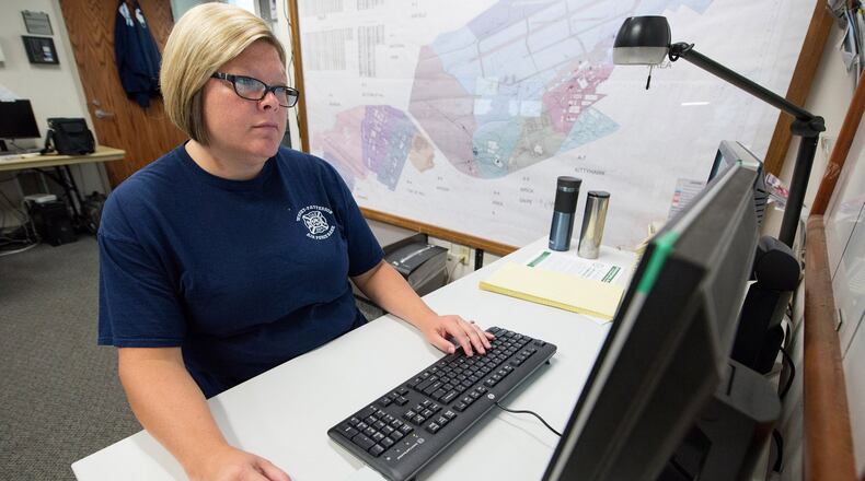
“We use the GeoBase to map our resources and search for information,” said Cory Downey, WPAFB Fire Emergency Services communications supervisor. “The Fire Department Dispatch and Security Forces Base Defense Operations Center use the map simultaneously placing agency resources and information on the map. This map is a critical resource to the dispatch center.”
This ability to plot information on the map that others can see instantly is one of GeoBase’s greatest features, according to Rosario.
“It’s designed so that everyone with that level of access can see the same thing at the same time,” Rosario said.
She says that while GeoBase’s biggest customers now are civil engineers, the fire department and emergency management, she’d like to add additional features to the maps for everyone’s use, such as hours and contact information for all of the bases services, show current construction on roadways to help people navigate around the bases, and link GeoBase with other applications in use by base professionals.
“We have a good base structure, but there’s so much room for growth,” Rosario said. “It’s really just meeting with people, seeing what their needs are and seeing if it’s possible. If it’s something that’s a huge workload, that may require contracting. But, if it’s something fairly easy that I can do, we can add it right in.”
That level of adaptability and responsiveness is something Rosario’s customers appreciate.
“I have found things that this map can do that you just don’t find on the web,” Downey said. “Every time I have need something added or removed, the GeoBase administrator would make it happen almost immediately.”
For Rosario, it’s all about where can she take GeoBase next.
“My biggest thing is to get it out there so people can utilize it and it may trigger things for them to come in and say ‘Can we use it this way?’” Rosario said.
Anyone with suggestions on how to make GeoBase better or to increase its functionality should contact Rosario at 937-656-2883.
Those using Air Force Materiel Command's GeoBase site will see it move to https://afmcgeobase.wpafb.af.mil/viewer. AFMC users can forward suggestions to Bradford Miller at 937-257-7449.
About the Author
