>> Winter Weather Advisory in effect: What to know about timing, road conditions
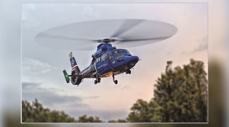
The app sends a GPS location of the emergency to the CareFlight Communications Center, allowing first responders to track CareFlight’s response and location.
“It frees our hands up and lets us care for the patients and gets help to us quicker,” Chief Mark Ater said, director of public safety and a firefighter and paramedic in Union City.
>> I-Team: Do protection orders work as intended?
The ability to expedite CareFlight response is especially important to rural communities.
“As a rural EMS, we probably use CareFlight more than departments that are closer to hospitals,” Ater said.
The app was introduced in January and went through a series of testing with area agencies.
The development of the app included collaboration with Flight Vector, a flight dispatch software.
About the Author
