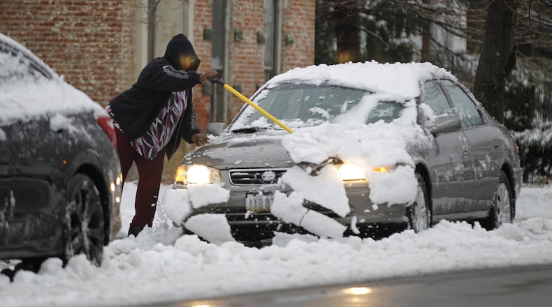
Over the next couple of weeks, the weather pattern seems a little wacky to say the least. Three of our major weather models, European, American GFS, and Canadian have shown several chances for wintry precipitation. There is not much agreement at on timing, type of precipitation and totals, so the forecast is going to be a little tricky. Definitely one to stay updated on each day.
Statistically, snow in November is less likely than December, January or February, but it is still possible. According to the National Weather Service in Wilmington, the average first measurable snowfall for Dayton is typically around November 24 and for Cincinnati around November 29. Of course, there have been blockbuster years of heavy snow in November with the record snowiest at 12.7 inches in 1950 for Dayton and 12.1 inches in 1966 for Cincinnati.
WEATHER: Forecast, latest news, maps
While snow and ice are possible in November, forecasting can be difficult. It’s not just the atmospheric conditions that needs to be considered, but also how warm the ground is when wintry weather strikes.
Since early spring through summer, the earth has been absorbing solar radiation, helping to warm the surface. The sun’s rays are stronger during these months, and that’s why the air temperature is so much higher compared to winter. That also means the ground temperatures is higher, too.
As we head into winter, there is a lag time between colder temperatures and how quickly the ground cools. Because we haven’t had too many nights so far with temperatures falling below freezing, the ground itself is still quite warm. This could significantly diminish how much snow or ice could accumulate on the ground if a winter weather event were to occur right now. But, that being said, snow or ice can accumulate much quicker on higher elevated surfaces such as on top of cars or grassy surfaces, bridges, and overpasses.
Precipitation types with winter storm systems is another added layer when it comes to forecasting. You’ve heard me speak of snow, sleet and ice with storms in the past, but do you know how they form?
Snow is the easiest to understand. The air must be below freezing from the cloud to the ground in order for a snowflake to form and travel to the surface without interruption. Sleet is a little different. Sleet forms when a snowflake falls from the cloud passes through a warm layer of air, melts slightly then refreezes in a sub-freezing layer of air before reaching the ground. Lastly, freezing rain is when a super-cooled rain droplet falls onto a surface that is below 32 degrees and freezes on contact. It looks just like rain, but can quickly form a sheet on anything it touches. Black ice might be the most dangerous when it comes to travel as it’s harder to see compared to snow or sleet.
To stay updated on when winter weather is expected in your neighborhood, visit whio.com or watch News Center 7 throughout the week.
About the Author
